
La Puente ZIP Codes and Coverage
Two residential ZIP Codes intersect incorporated La Puente. The city street booklet is more precise than a ZIP label because it lists individual number ranges, odd or even sides, orientation, and city or county responsibility. Postal territory can include nearby unincorporated communities.
| ZIP Code | Areas Covered | Post Office | Notes |
|---|---|---|---|
| 91744 | City Hall, downtown, and most listed La Puente ranges | Industry Post Office, 15559 Rausch Road, La Puente | Main city ZIP, but postal territory extends beyond incorporated limits |
| 91746 | Western fragments, including specified Amar and Ardilla ranges | Bassett Post Office, 512 Workman Mill Road, La Puente | Much of the ZIP is unincorporated; phone listed as 626-369-5301 |
| 91747 | La Puente-named postal facility | Facility at 15310 Elliot Avenue | Facility ZIP 91747-9998 is not a residential city ZIP |
Census city and ZCTA profiles also identify 91744 and 91746 as the ZCTAs that intersect the city. A ZCTA approximates delivery geography. It is not a city boundary and it is not a resident roll.
91744 in the La Puente ZIP Directory
ZIP 91744 covers the main city area and the City Hall or downtown address pattern, but the postal boundary is wider than incorporated La Puente. A 91744 address should still be checked in the city's street booklet before a city permit, code, or planning request is filed.
The booklet gives street ranges and sides of the road. It can show that one street has city numbers followed by county numbers, then returns to city responsibility. That range detail is more useful than guessing from the ZIP. The Assessor portal accepts the street address or AIN, while the county map lets a researcher browse nearby parcels.
For postal formatting, use the USPS city and state lookup. A correct 91744 result confirms delivery format. It does not confirm who lives there, who owns the parcel, or which city office holds a file.
91746 and Western La Puente
ZIP 91746 includes western fragments of La Puente and a large amount of unincorporated territory. Bassett Post Office serves the listed address, at 512 Workman Mill Road, with the research noting phone 626-369-5301. The street booklet identifies the exact La Puente ranges rather than treating the whole ZIP as city land.
Amar Road demonstrates why ZIP and city searches must be joined to a number. The booklet gives 91746 for 13700-14299, then 91744 for 14300-14598, with side-specific changes. A ZIP-only request can therefore blend parcels governed by different local custodians.
Use the ZIP as a filter or address check, then move to the AIN and jurisdiction. A ZIP code directory can narrow geography. It cannot replace the street range, parcel map, or agency routing.
Why La Puente ZIP 91747 Is Not Residential
USPS lists a La Puente facility at 15310 Elliot Avenue with facility ZIP 91747-9998. That named facility can confuse a postal search, but the research does not identify 91747 as a residential ZIP serving incorporated La Puente. Treat it as a facility code unless USPS confirms a delivery address.
This is a useful ZIP directory quirk. A post-office name, a facility ZIP, a delivery ZIP, and a Census ZCTA can all appear in search results without describing the same boundary. Check “By Address,” “By City and State,” and “Cities by ZIP Code” in USPS rather than copying a facility code into a record request.
Do not infer a resident, parcel, or city connection from a ZIP shown in an old business listing or reported-property record. Confirm the full street address and date.
Which La Puente Records Accept ZIP
A ZIP code is a useful address component, but local systems accept different keys. No public local portal was verified as a ZIP-wide resident search.
| Record system | Accepted key | ZIP role | What comes next |
|---|---|---|---|
| USPS lookup | Street, city, state, ZIP | Validates delivery format | Use the confirmed address with the custodian |
| Assessor | Address or AIN | Parcel detail may show city and ZIP | Map the AIN; owner channel is offline |
| GIS map | Parcel, map, spatial query | Shows situs and neighboring parcels | Check city booklet and request owner data |
| Voter file | Restricted file request | ZIP can be a delivery or file filter | State a permitted purpose under Elections Code section 2194 |
| City request | Address, date, record type | Helps identify the right jurisdiction | Use NextRequest or county routing |
Once a ZIP narrows the search to a street and number, use the La Puente by-street directory for the parcel and deed sequence. The ZIP page should not rebuild that address chain.
The county's voter data product information shows the separate route for a permitted ZIP or county file request.
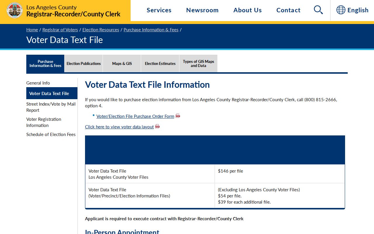
Voter-file products are restricted records, so a ZIP filter never becomes an unrestricted resident list.
For a statewide voter file, the California Secretary of State request rules describe eligibility and delivery terms. County office channels are listed on the RR/CC contact page.
Verify a La Puente ZIP Address
The USPS form captures the fields needed to confirm a delivery format. It is a mail tool, not a people search.
| Company | Optional text for a business or organization. |
|---|---|
| Street Address | Required address text. |
| Apt, Suite, or Other | Optional secondary address line. |
| City | City text; postal city can differ from incorporated jurisdiction. |
| State | State selection. |
| ZIP Code | Optional existing code or a field returned by the lookup. |
| Find | Submits the address and returns a USPS-formatted result. |
Enter the complete street address, compare the returned city and ZIP, and save the result date. Then check the city booklet and Assessor parcel. A matching USPS address does not prove a person at the address and does not decide whether a city or county office holds the record.
The USPS lookup capture is the right image for delivery validation.
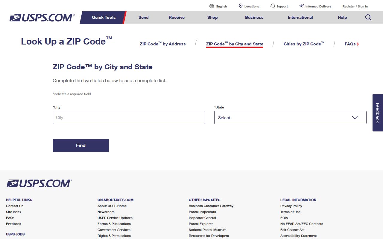
The USPS screen shows how ZIP verification starts with the full address rather than a person's name.
Find La Puente Residents ZIP by ZIP
A ZIP-level resident search should be a narrowing workflow, not a promise of a ZIP-wide list. Begin with the postal result, then choose the record source that fits the purpose.
- Confirm the full address and ZIP with USPS, including apartment or suite information when present.
- Compare the number range, odd or even side, and city or county assignment in the La Puente Street Booklet.
- Search the Assessor by address or AIN, or browse the map, and save the parcel facts.
- If a permitted election purpose exists, request the county voter file or file extract with the lawful purpose and ZIP scope stated.
- Move to the street-level parcel, deed, permit, or historical directory workflow once the ZIP has served its geographic purpose.
The Assessor portal does not document a ZIP-wide resident mode. The voter-status tool is personal. The recorder does not accept ZIP, address, or APN as its name-index key. Those limits are why a ZIP code directory should point to the next valid key instead of implying that a ZIP is a searchable population list.
ZIP Codes Versus La Puente City Limits
A ZIP code is a USPS delivery area. ZIP+4 adds a delivery segment within that area. A PO-box ZIP is tied to post-office boxes or a facility. A unique ZIP serves one institution or special delivery point. A carrier route is a mail-delivery path. None of these definitions creates a municipal boundary.
- ZIP Code
- A five-digit USPS delivery area used for mail routing.
- ZIP+4
- A four-digit extension that narrows delivery inside a five-digit ZIP.
- PO-box or facility ZIP
- A code tied to a post office or special delivery setup, such as the 91747 facility notation.
- ZCTA
- A Census approximation of ZIP delivery geography, not an official USPS boundary or city line.
- Carrier route
- A local delivery path inside a postal area, not a public resident list.
The city booklet resolves La Puente's local boundary number by number. Census ZCTAs add demographic context. USPS verifies mail. The Assessor and county records establish parcel custody. Keep those layers separate when reading a La Puente ZIP code directory.