
La Puente Neighbor Sources by Block
A block-level search uses several sources, each with a different scope. The Assessor map is the free online foundation. Owner names require an office or data channel. The city booklet confirms local responsibility. Community pages identify public participants, not private member households.
| Source | What It Shows About a Block | Access |
|---|---|---|
| Assessor map | Parcel boundaries, AIN, situs, public property facts | Free map viewer; owner names suppressed online |
| Assessor parcel portal | Address facts, values, structure details, latest recording clue | Address or AIN; owner at office or Property Data Sales |
| City Street Booklet | Number range, ZIP, side of street, orientation, city or county jurisdiction | Free PDF; compare the exact address |
| Restricted voter file | Registered-voter presence within an approved scope | Application and purchase; Elections Code section 2194 limits use |
| City commissions and boards | Names of public participants and meeting activity | Official pages and agendas; not a household list |
| Neighborhood Watch or groups | Community-safety or civic activity where published | No public participant-address roster located |
A parcel boundary can define a block edge. It cannot identify every household member, a customer, or a private association participant.
Map La Puente Neighbors from One Address
Open the Assessor Map Search, enter or locate the anchor parcel, and zoom below the layer's effective 1:10,000 display scale. Click the target polygon and record the AIN and situs. Then click the side, rear, and opposite-street parcels one at a time. The official parcel service supports spatial and distance queries, but no consumer-facing radius or buffer button was verified.
- Confirm the target address and city or county assignment in the Street Booklet.
- Save the anchor AIN, situs, map view, and source date.
- Click each adjoining polygon and record its AIN separately.
- Compare parcel shape, cross streets, and house-number sequence before asking for an owner.
- Use the Assessor office or Property Data Sales for owner data, then choose the recorder, permit, or historical path that fits the question.
The map is a spatial tool. It does not turn the surrounding parcels into a public neighbor directory. Use the map help instructions for control details.
Take La Puente Neighbor Records Offline
The public Assessor parcel card can show AIN, situs, values, use, design, year built, units, rooms, square footage, latest recording date and document number, roll year, and parcel creation date. It deliberately withholds owner name and owner mailing address from the web. A nearby parcel has the same split.
At the Assessor office, owner information can be obtained through the county's office channel or Property Data Sales. With a name and likely year, the RR/CC recorder index can then be searched in Norwalk. The recorder is organized by grantor, grantee, and recording year. It cannot search by address or APN.
Ownership is not occupancy. A deed names a title party. A mailing address may point to a trust, agent, business, or second property. A tax bill says something about the parcel account. None of these sources names every neighbor.
Map-to-name handoff. Keep one row per parcel. Record AIN, situs, source date, owner channel, and any later deed document number rather than merging all nearby lots into one result.
La Puente Neighbors and Odd-Even Limits
La Puente's street booklet can place only one side of a number range inside the incorporated city. Aileron Avenue includes city and county segments, with 1001-1199 listed as city on the odd side only. Amar Road changes ZIP and jurisdiction by number. An adjacent parcel may therefore be served by a different local records office even when the houses face the same road.
Before requesting permits, code notices, or planning files, write the exact number, APN or AIN, and date range. City Building and Safety holds city files; county Public Works or Regional Planning may hold county segments. A postal La Puente name is not enough.
No authoritative citywide street-renumbering year or E911 realignment was verified. Compare historical address, parcel creation date, legal description, and subdivision lot before concluding that a neighbor moved or a house disappeared.
What La Puente Neighbor Voter Files Allow
The county voter-status tool is for a voter checking personal registration. It asks for last name, date of birth, house number, and ZIP Code. It is not a public street browse. A voter or election file request is a separate product, and California Elections Code section 2194 restricts the purpose to election, scholarly, journalistic, political, or governmental use.
The county publishes voter-file pricing of $146 for countywide information and $39 for an additional file. The requester must state a lawful purpose. Signatures, Social Security numbers, driver-license and state-ID numbers, and protected addresses remain confidential. Participation history shows a ballot was cast, not how it was marked.
The county voter information request page describes the approved channel.
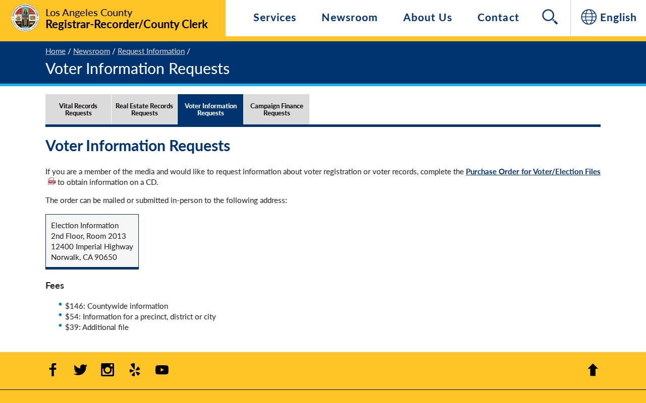
The voter-file capture illustrates why block-level neighbor research depends on purpose and access rules rather than a casual name search.
La Puente Neighbors in the Civic Block
No official umbrella HOA or neighborhood-association directory was located for La Puente. The La Puente Valley Historical Society, La Puente Valley Woman's Club, Community Foundation, city commissions, and Neighborhood Watch offer civic context, but none publishes a resident or member address list.
| La Puente Valley Historical Society | Rowland Home, museum, archives, and exhibits; no public member roster. |
|---|---|
| La Puente Valley Woman's Club | State-listed historic resource at 200 N. First Street; membership roll is not public. |
| Community Foundation and city commissions | Public board names and meeting records where published; not a household directory. |
| Neighborhood Watch | Community-safety participation may be described publicly; no participant-address list was located. |
Public boards and commissions can name participants in agendas and meeting pages. The city safety plan names congregations and community groups, yet congregation membership and block-watch participation remain private. A public meeting name is a civic role, not proof that someone lives on the adjacent parcel.
For local history, the La Puente Valley Historical Society preserves the Rowland Home, cookhouse, Dibble Museum, exhibits, archives, and publications. It was founded in October 1960 and incorporated in 1966. Its holdings can add place context without becoming a neighbor roster.
Public Safety Records for La Puente Neighbors
Some public lookups are relevant to a block only as a narrow safety or custody check. California's Megan's Law site offers name, map, address, and radius modes with a statutory-use warning. The Los Angeles County Sheriff's inmate information system can show booking, bail, custody location, court date, release, or hold fields. CDCR's CIRIS covers a different state custody scope.
Arrest is not conviction. Custody and release data change. A registry result must be matched by identity details and source date. It should never be used to publish a neighbor list or to contact a person because a map result appears nearby.
Use the official California Megan's Law search for its stated purpose and the LASD Inmate Information Center for current county custody information.
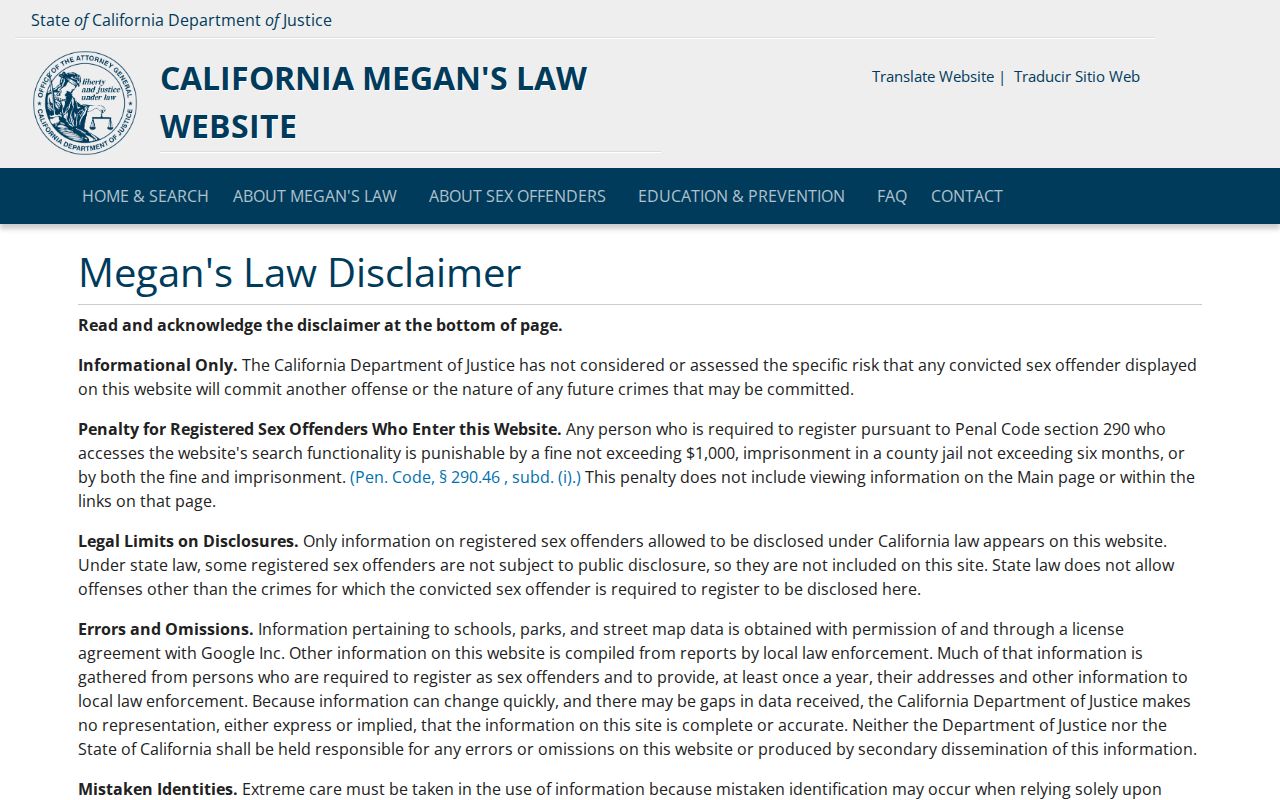
The registry screen carries its own legal-use limits and should not be treated as a parcel or household source.
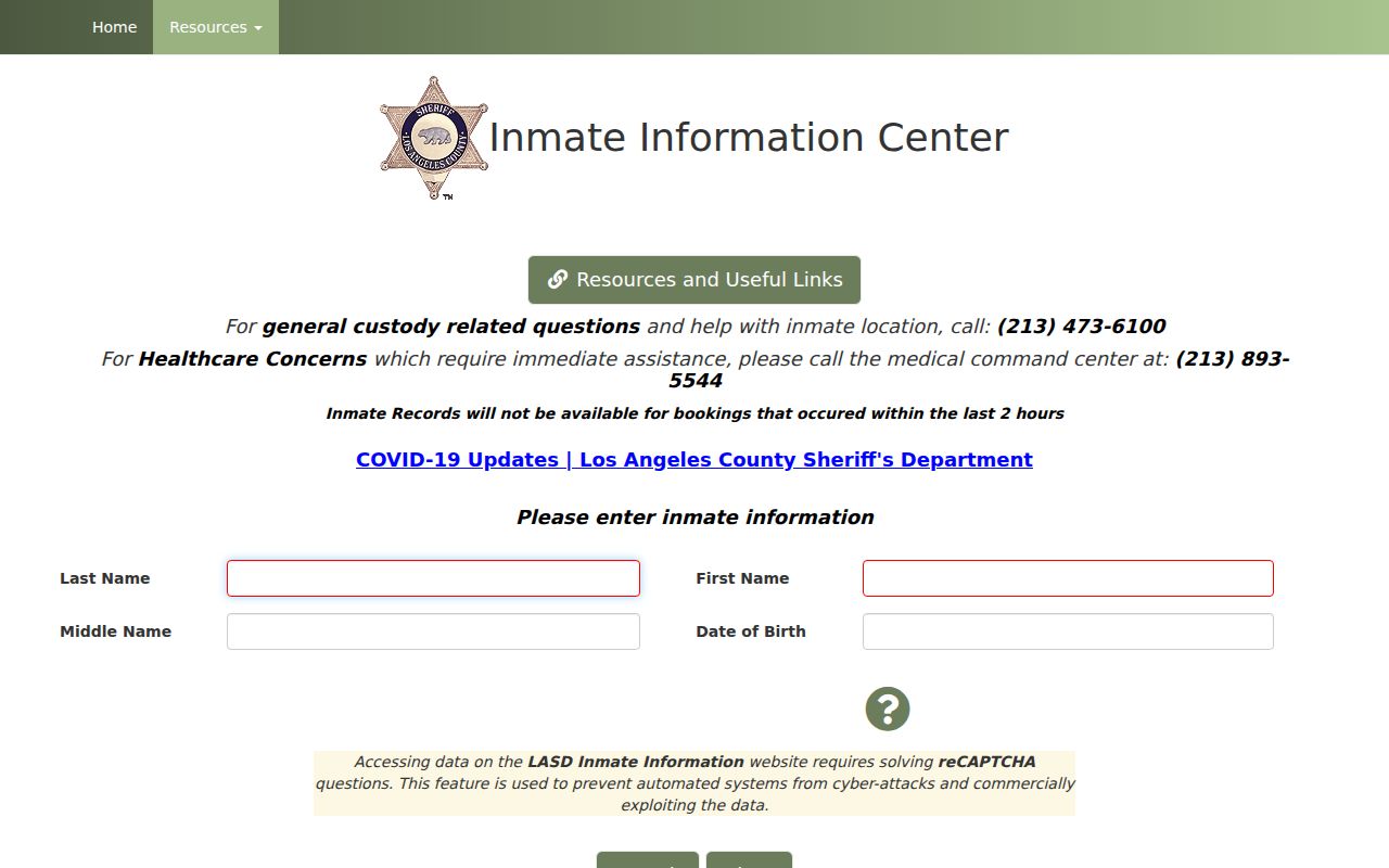
The county custody image demonstrates a separate record purpose, time frame, and identity check from ordinary block mapping.
California's CIRIS lookup covers a different state custody scope and should be read with its own identity and date limits.
Privacy Limits on La Puente Neighbors
Official sources have provenance and a custodian, but they remain partial. Commercial compilations may merge names, repeat stale addresses, omit protected people, and hide the source of an assertion. Compare the two categories at the level of purpose rather than treating either as a complete block roll.
| Source type | Strength | Blind spot |
|---|---|---|
| Official parcel map and record | Named custodian, parcel key, date, defined record role | Owner fields may be offline; occupant and household details are absent |
| Library or civic collection | Dated local context, directory, meeting, or history clue | Coverage is selective and member rosters are usually private |
| Commercial compilation | May combine public clues into one interface | Source, date, accuracy, and lawful-use basis can be uncertain |
Utilities, deliveries, schools, congregations, and private association records are not public neighbor data. A missing name may reflect privacy, an unlisted source, a boundary mismatch, or simple omission.
The Safe at Home governing-law information explains why a protected participant may appear with a substitute address or no public address at all.
Lawful block research. Use La Puente neighbors information for personal safety, civic understanding, property context, or consent-based community contact. Do not use a neighbor lookup to stalk, harass, intimidate, or harm anyone.